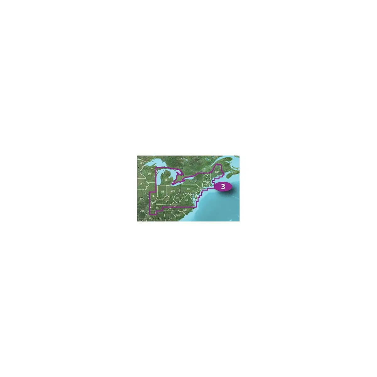
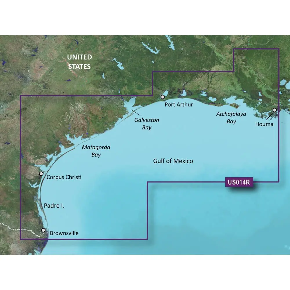
Description
See your precise, on-chart position in relation to navaids, coastal features and restricted areas with premium features found in this detailed marine mapping data. Includes all of the features of our BlueChart® g3 product and more.
• Shaded depth contours, coastlines, spot soundings, navaids, port plans, wrecks, obstructions, intertidal zones, restricted areas and IALA symbols.
• Seamless transitions between zoom levels and more continuity across chart boundaries.
• High resolution satellite imagery for a realistic view of the land and water.
• Aerial photos of ports, harbors, marinas, waterways, navigational landmarks and other POIs.
• Auto Guidance technology searches chart data to suggest the best passage to a destination.
• Mariner Eye View 3-D perspective for a quick, easy position fix.
• FishEye View 3-D perspective for an underwater view of the sea floor.
• Safety Shading enables contour shading for all depth contours shallower than your defined safe depths.
• Fishing Charts to scope out bottom contours and depth soundings with less visual clutter on the display.
Explore more from our collection.

Reviews
There are no reviews yet.